Event By
Date and Time
Location
Description
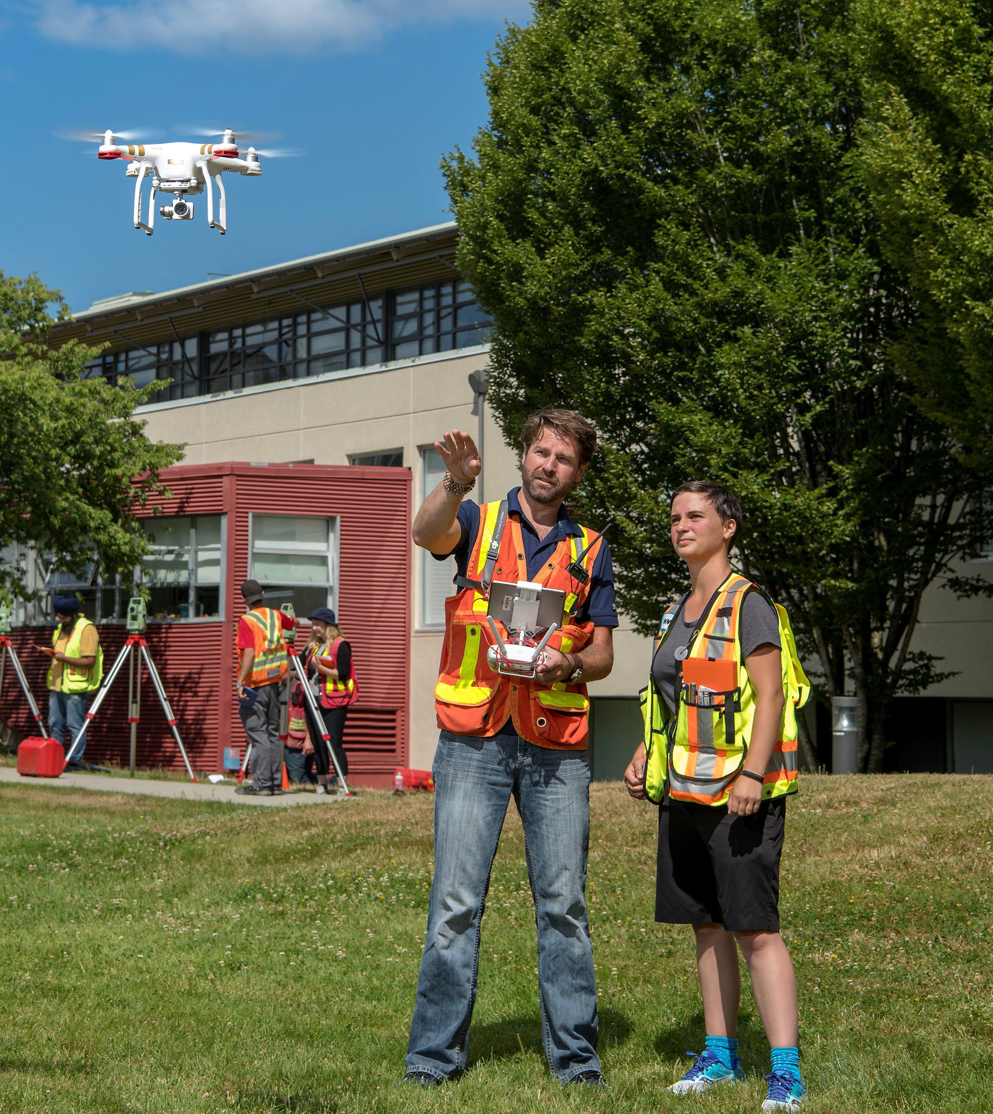
Geomatics (Surveying & Mapping) is the art and science of acquiring, managing, and presenting geospatial (2D/3D) information. It is a discipline with a long and rich history and quickly emerging into one of the most exciting information sciences of the digital age.
This session will be available via Zoom on Thursday, October 21, 2021 from 5:00 PM to 6:00 PM.
The BCIT Geomatics Engineering Technology program offers a two-year technology diploma leading to career opportunities in the Geomatics industry, with an option to continue an additional two years toward a Bachelor of Science in Geomatics.
- Geomatics is the discipline of inter-related geospatial sciences concerned with the collection and management of geographic data. It includes GNSS (GPS), land surveying and cadastral studies, cartography, geodesy, land use planning, photogrammetry and remote sensing, and hydrography.
- BCIT’s Geomatics Engineering Technology Program offers a two-year Diploma in Geomatics which will appeal to students looking to immediately begin a career as a Geomatics technologist, or students can opt for a further two years of study toward the Bachelor of Science Degree in Geomatics en route to becoming a professional land surveyor.
Get your questions answered by Grant Shelest, Program Head.
We look forward to seeing you online!